 i can't believe it's been that long, but the last time i biked to east boston was almost 5 years ago when i went to deer island with drew. since that time,
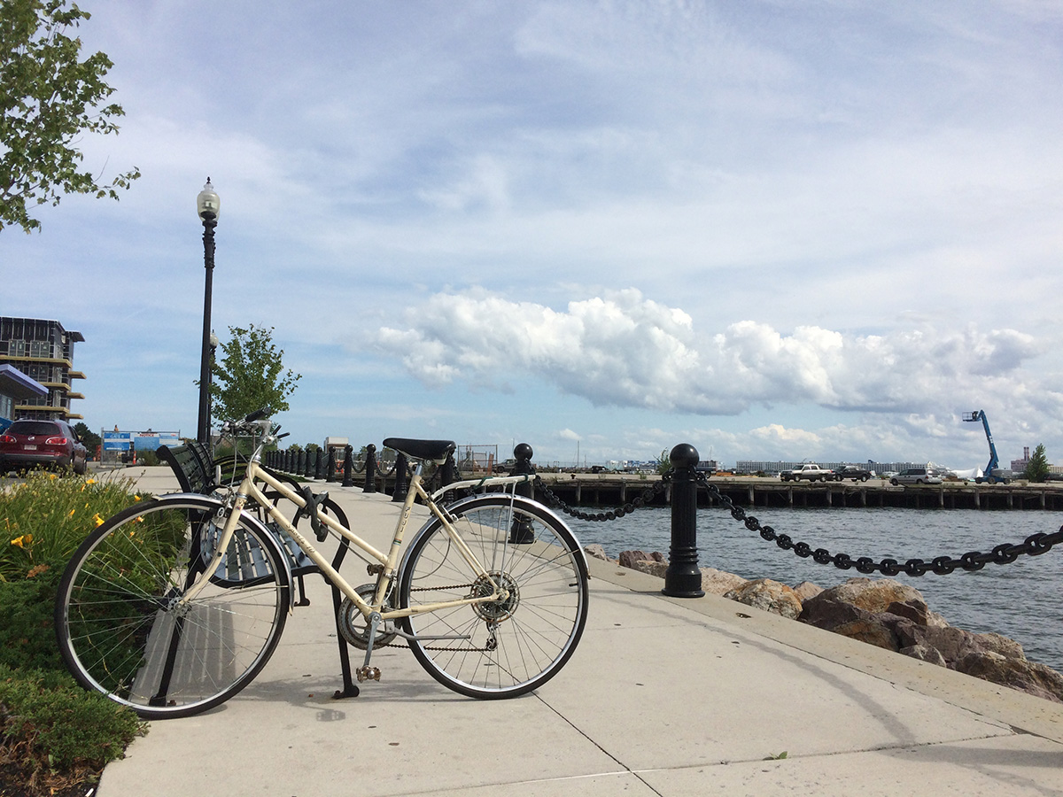
  they actually added a dedicated bike lane onto alford street across the bridge, making it slightly easier to ride but no less dangerous as cars still speed by. i never knew the alford bridge was a drawbridge and waited several minutes for the bridge to open then close. i didn't mind the wait, gave me a chance to talk some photos.
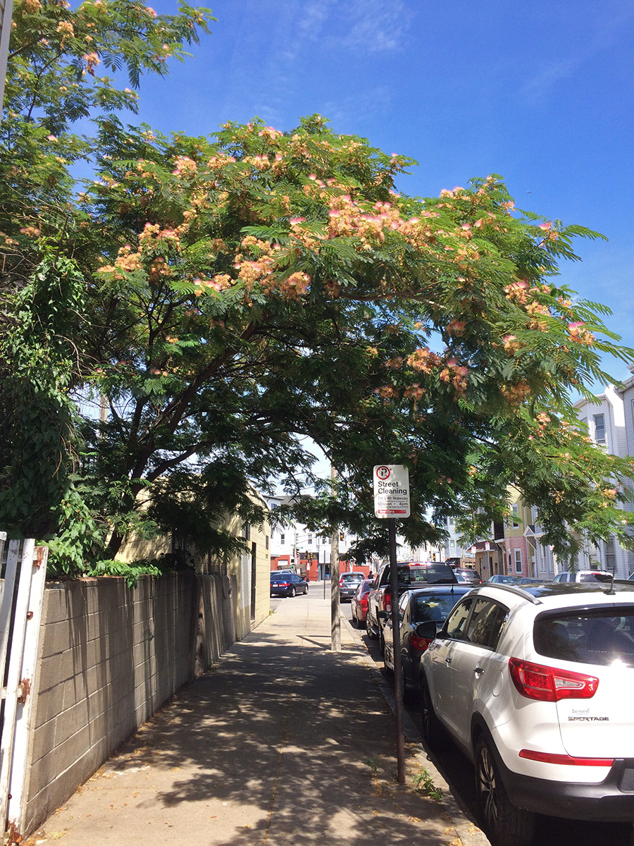
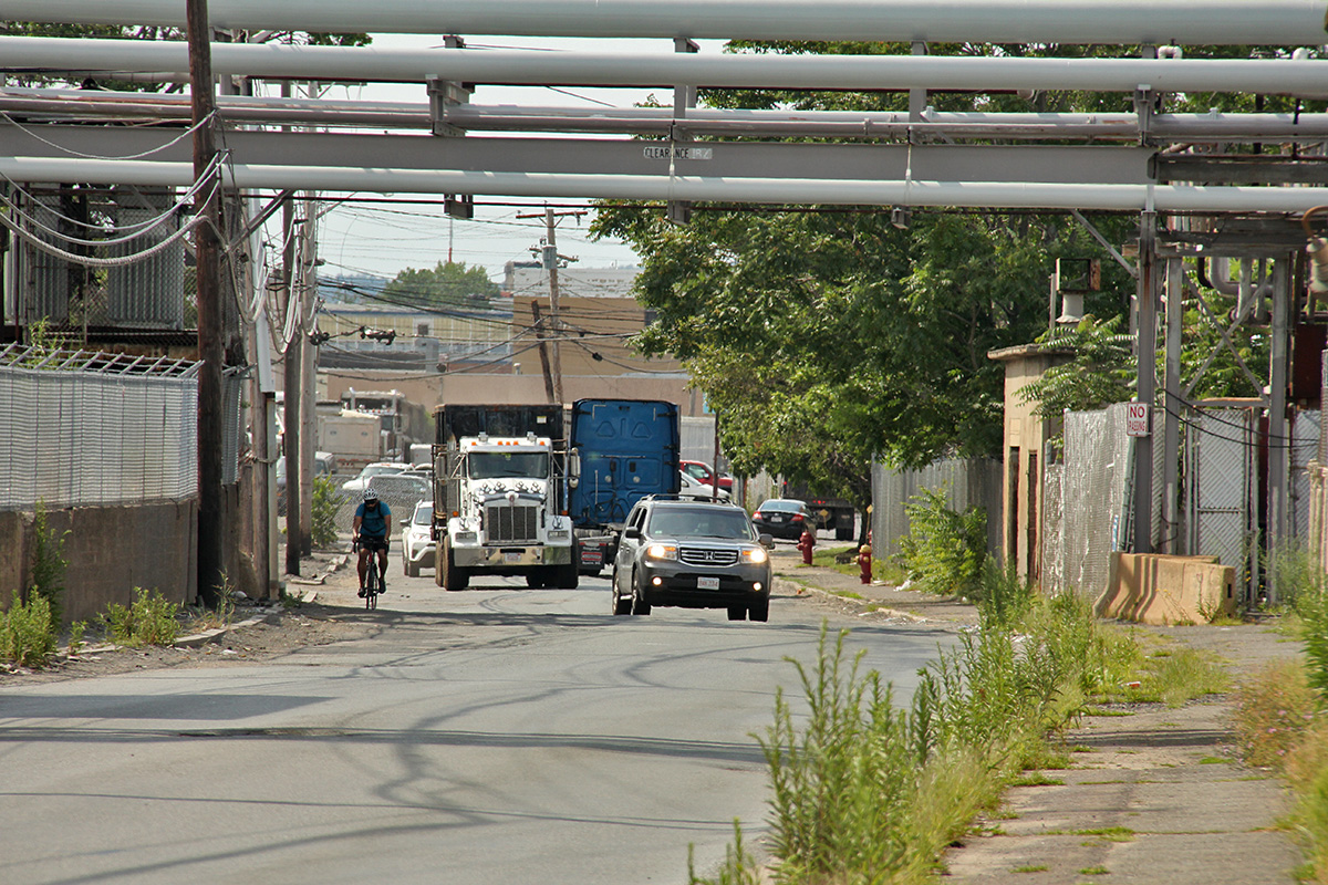
one of the greatest hurdle in getting to east boston is having to ride through the industrial dump on the southern end of everett facing the mystic river. it was just the way i remembered it, bumpy unevenly paved roads strewn with debris (asphalt gravel, broken pieces of vehicles, fallen bits of scrap metal). it make it more challenging, there's no real bike lane so you basically have to stick to the side of the road where most of the road trash are all the while avoiding passing semi-trucks that rumble by. i took the dexter-robin street shortcut which in the future i should avoid as these small side streets are narrower and bumpier. better to just go down broadway and take a right on beacham. i also took a wrong turn on beacham and went down behen and market. there wasn't as much traffic but it felt like i was getting lost.

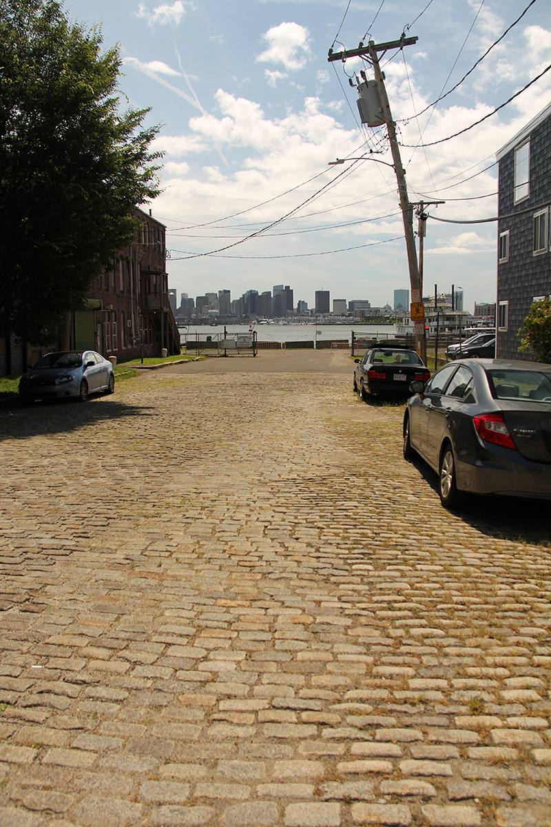
once i arrived in chelsea, i took a short detour down broadway street to admire the tobin bridge. this is a very scenic area and i've seen it in a few films. nearby on winnisimmet street are the original cobblestones back when this area was the landing point for ferries traveling into boston. it'd be nice if they still existed (and at a cheap price) because traveling into this area is not so easy.
 once i crossed the mcardle bridge i was in east boston. here i wasn't so sure where i was going. i traveled north to south down meridian street, knowing at some point i needed to turn left and go east. i'd plan on traveling down bennington street, but missed it and kept going, eventually making a turn down havre street, within eyesight of the former sumner tunnel tooth booth stands (since demolished and replaced with RFID trackers and cameras). i finally connected to bennington street and went as far as wood island station, navigation beneath the elevated route 90 turnpike exit to route 1A.
east boston is a fascinating place. it'd seem like a great place to live, so close to the city, with nearly half of all blue line stations located within its confines. despite that though, it's still a difficult place to visit, as getting here involves crossing over bridges, the most direct ones require tolls (and for motor vehicles only), the free bridges involve circuitous routes that take you into chelsea/everett/revere first. more than half of east boston is the logan airport. if you've ever arrived in boston via plane, you've already visited east boston.
another large section of east boston is swallowed up by an oil storage field, an additional piece of land reserved for the now defunct suffolk downs. actual residential and commercial areas aren't a lot, but what little that's left is densely packed and well populated. eastie is predominantly hispanic in demographics, and coming here can feel like you've left boston and gone to a hispanic country, with so many spanish businesses. there are many great places to eat, and most of them very inexpensive.
living with an international airport in your backyard means taking a plane can just be within walking distance. however, imagine the noises the people here must have to live through. and i thought my upstairs neighbors were noisy! imagine the sound of approaching and departing aircrafts, 24/7/365.
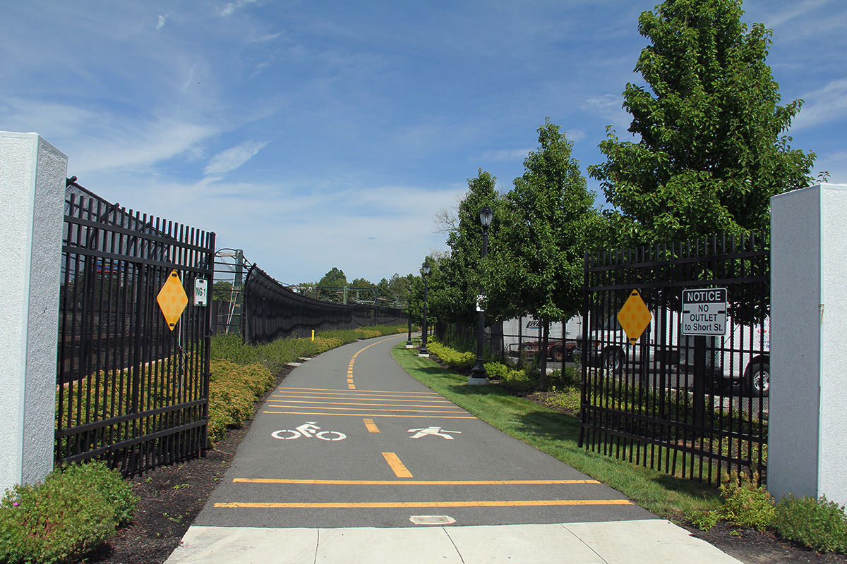
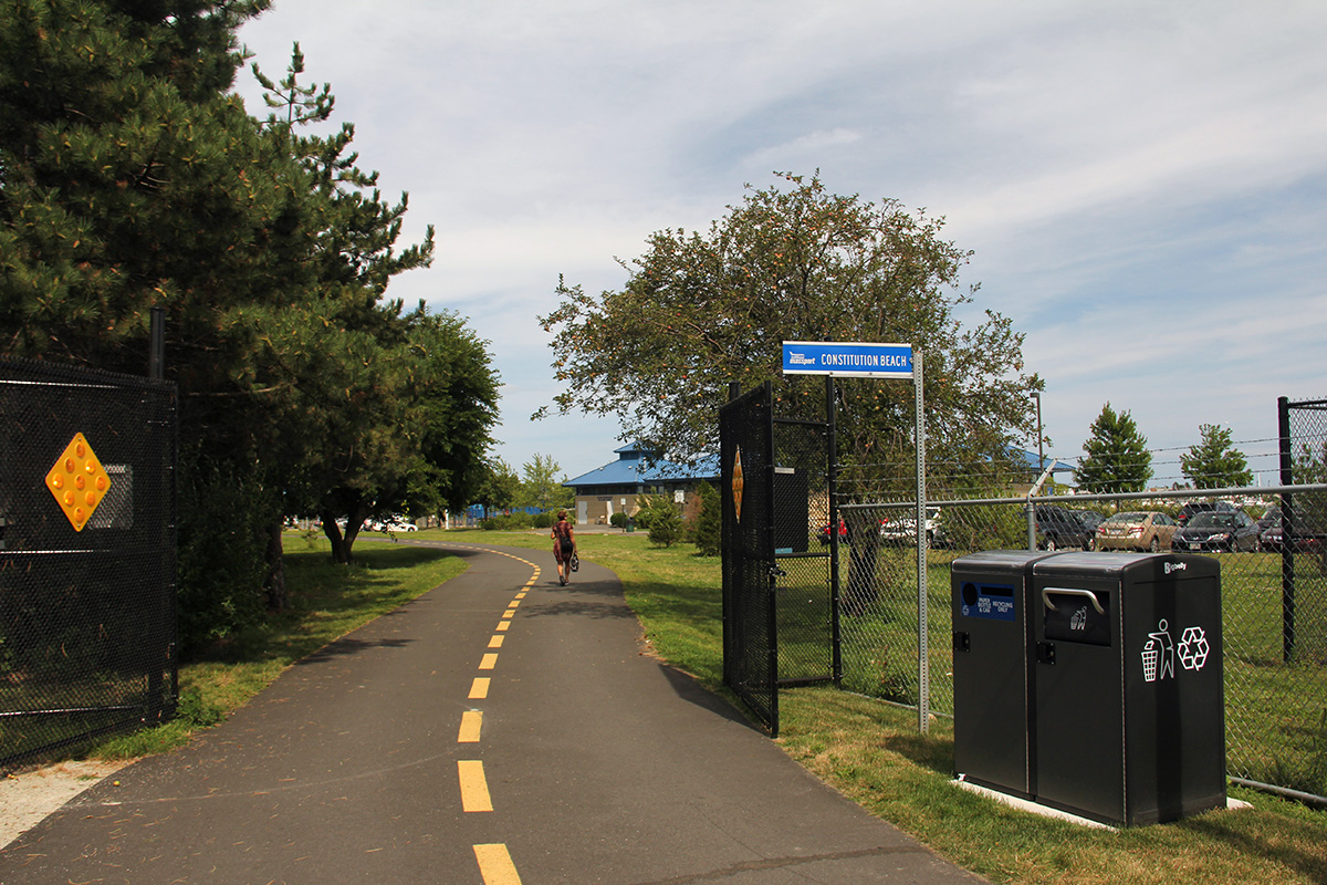
near wood island station i pulled out my phone to check the directions. according to the map, i was near a dedicated bike path. trying to find the actual path took a bit of sleuthing, as i was on bennington street but the path itself is a few streets over, behind the station. i was hanging out in neptune road airport edge buffer park when just by chance i spotted a spandex-clad cyclist disappear a few streets down. i followed and saw the sign for the east boston greenway. the greenway follows the blue line, ending northeast at constitution beach. it doesn't seem to get much use and seems brand new, as i was the only person on the entire way to the beach.

 there was a gravel pitstop overlooking wood island bay marsh, with logan airport just beyond that. an elderly couple sat silently on one of the many benches. a romanticized information panel showcased all the different animals and plants one can see from this urban wild area, none of which i saw except for the floating marsh grass. i stepped over a short fence onto a grassy lawn to take some photos by the water's edge before continuing onwards, the beach just a short distance away.
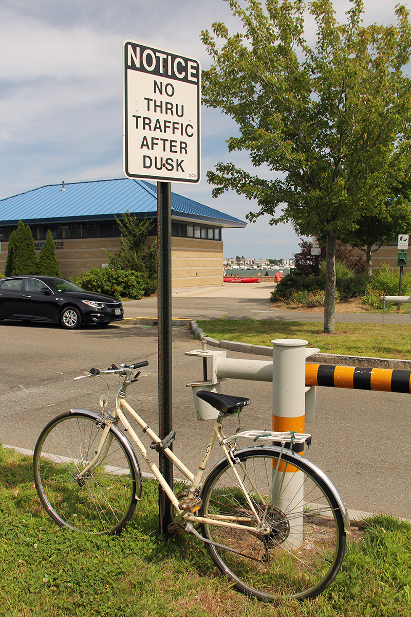
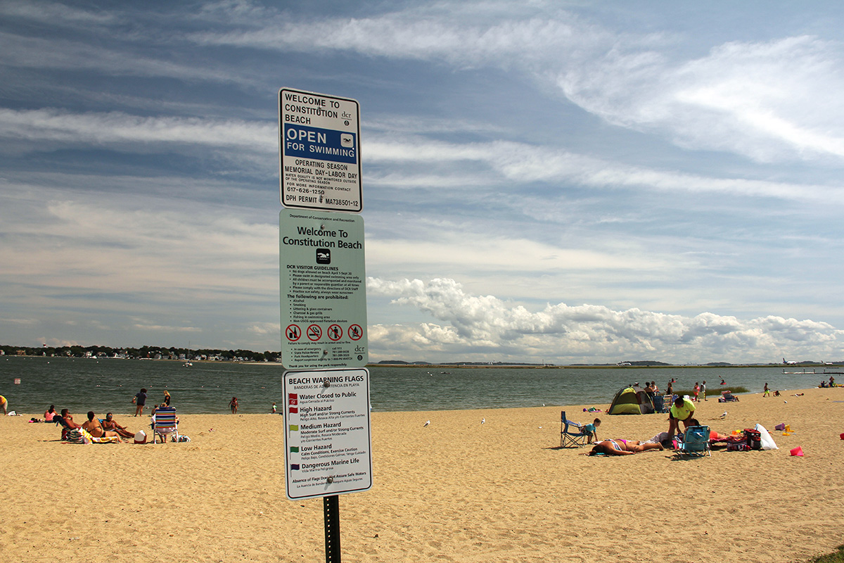
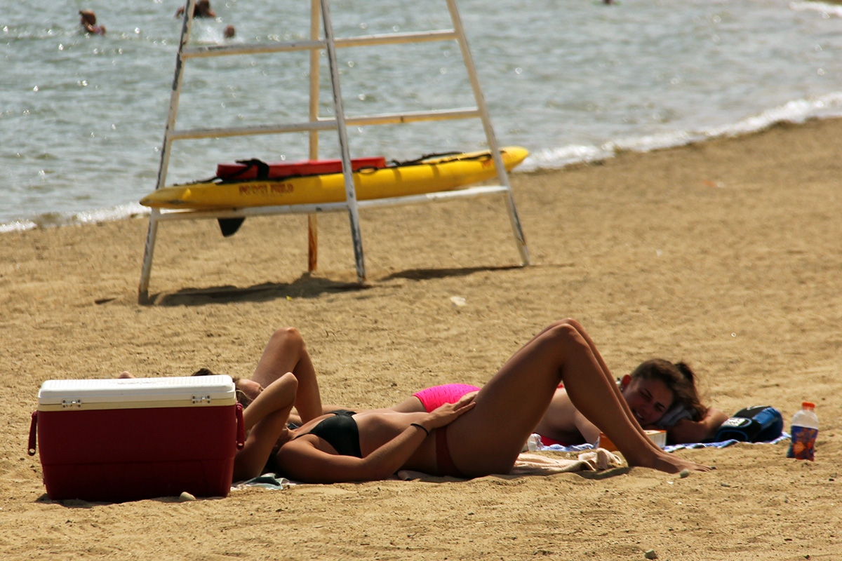
i arrived at constitution beach at 2:10pm, after 1 hours 20 minutes of riding. i've seen constitution beach in the few times i've gone to winthrop, located near the orient heights T station. but always from the street, where you only see the crest of a small hill and don't actually see the sandy beach itself. there were plenty of parking (particularly on a weekday) and for a brief moment i wondered if i would've better off taking my motorcycle instead of biking (but then i wouldn't have been able to explore the greenway). there were people on the beach but strangely enough people just lounging on the grass patch between the parking lot and the sand.

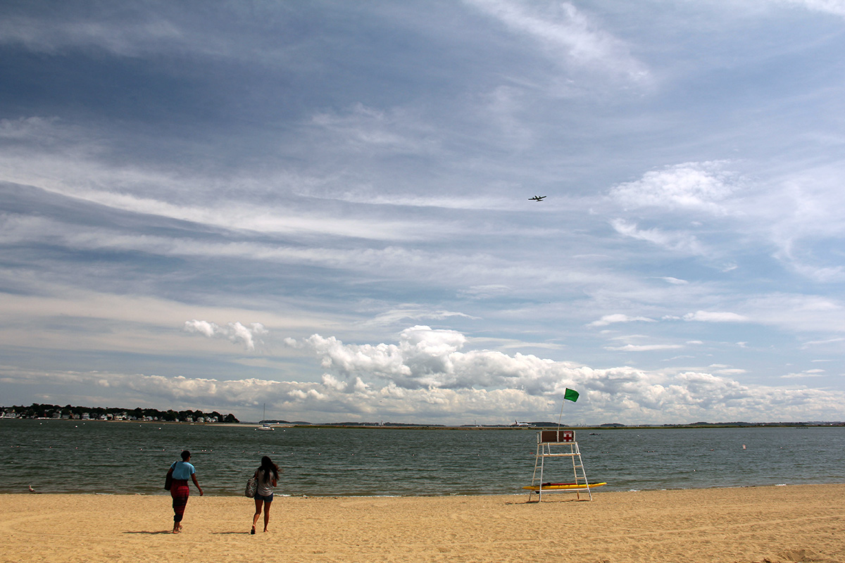
since constitution beach is located just across the water from logan airport, i was picturing planes coming in close to the people on the beach. and during the time i was biking, i noticed a lot of planes above the skies of everett and chelsea. but the thing i didn't realize about constitution beach is despite the close proximity to the airport, none of the runways line up with the beach, so you would never see any flying overhead. actually, smaller planes do fly overhead, but none of the larger ones.
i saw a young man roaming the beach wearing a backpack, seemingly out of place. he said my camera and gave me a courtesy nod, that's when i noticed the high-powered binoculars he'd strapped to his neck. later i saw him again, sitting on some stone steps underneath the shade of a tree. i realized what he was doing: he was watching the planes. he also had a scanner radio where he could listen in on the air traffic controller. he said i'd just missed seeing an airbus A380, currently the largest commercial plane in the world, with a double decker seating capacity.
i left constitution beach at 2:50pm. i decided to follow the east boston greenway in the other direction, all the way to the terminus at jeffries point. it was a great ride, with almost no traffic in the path, felt like i had the whole greenway to myself. at a certain point the trail follows the elevated highways instead of the blue line train.
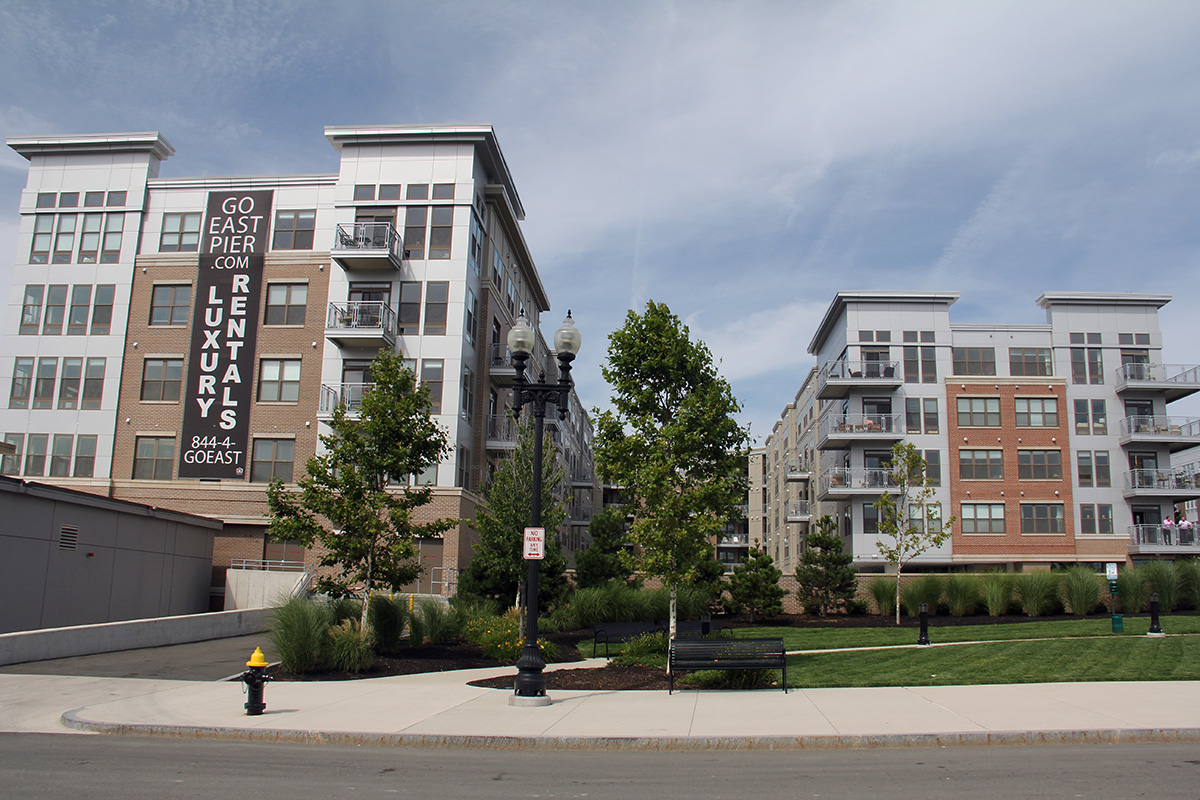
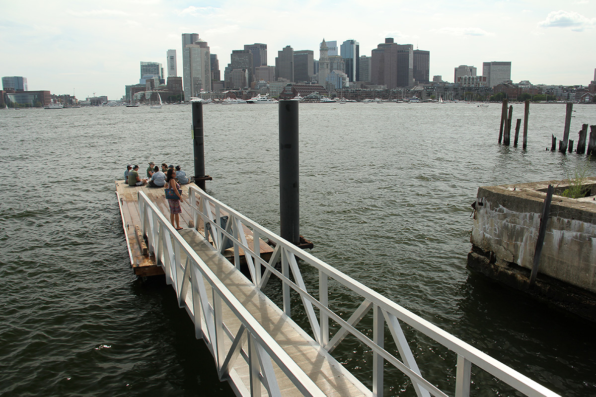
before i knew it, arrived in jeffries point at 3:10pm, with a view of boston across the harbor. the area has undergone some change since i was last there, with various construction projects building luxury apartments.
i continued on my way, up meridian street, crossing the mcardle bridge into chelsea, then williams street to beacham street, following that road until i came out on the other side of the everett industrial park.
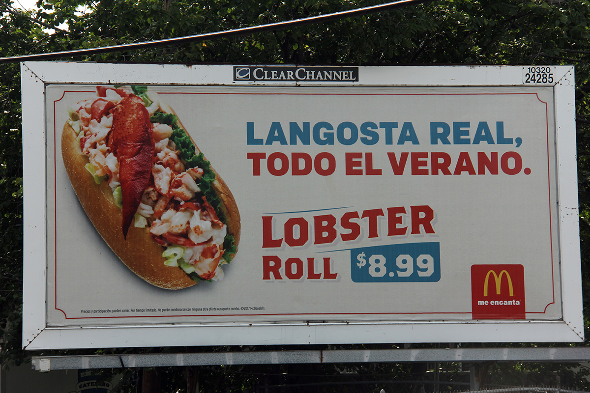
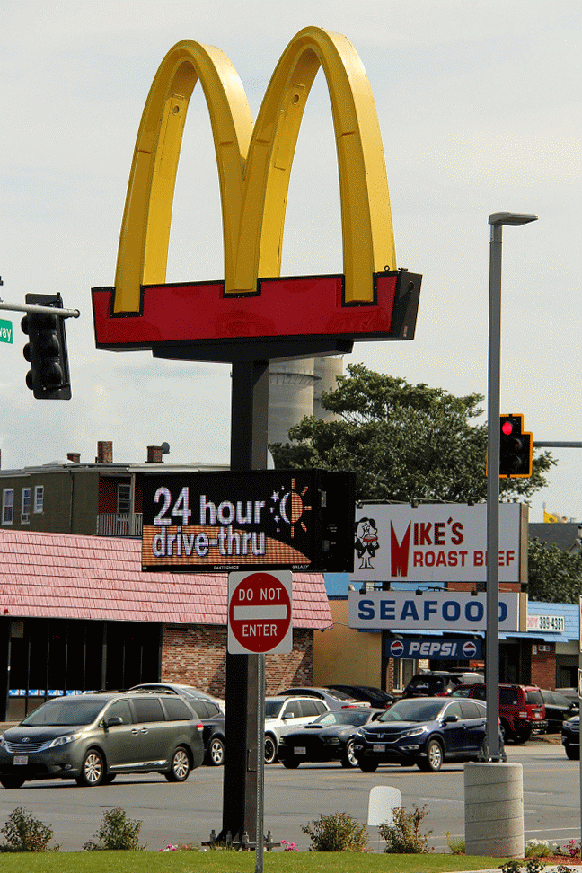
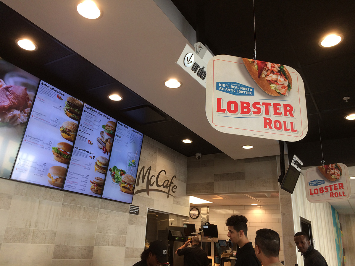
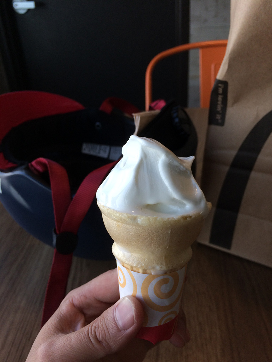
inspired by the spanish sign advertising lobster rolls, when i saw the large mcdonalds at the end of beacham street on broadway, it was like a sign and i knew i had to stop and get food. besides, they also had vanilla soft serve on sale, and i needed something to cool off on this hot day. i got a lobster roll to go ($8.99) and a soft serve. this was a fancy mcdonalds, opened 24 hours, with uber delivery service, and self-service ordering kiosks. it also had 2 floors and i went upstairs to finish my ice cream before leaving.
the way back into somerville was familiar so not as scary. traffic in union square was light, as i finally arrived home. i took a quick shower before digging into my lunch.
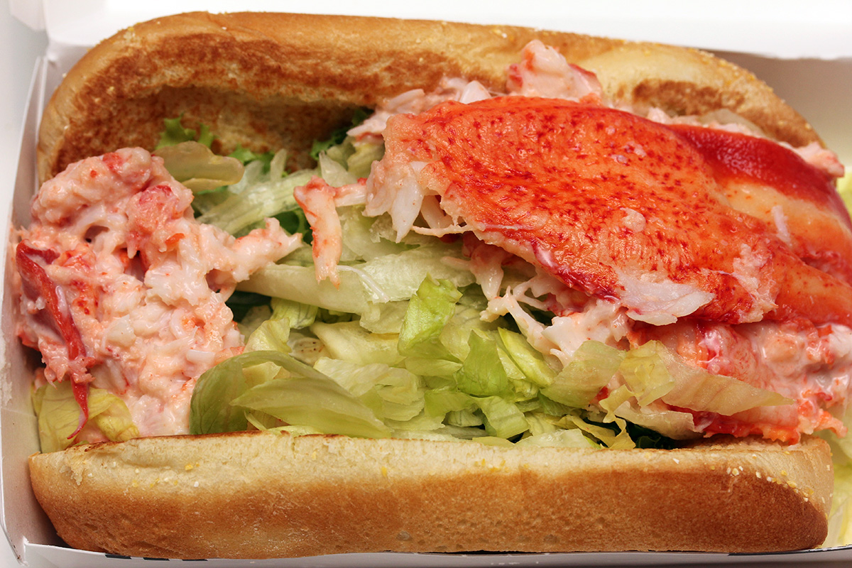
ever since mcdonalds brought back their lobster roll, i've been trying to get ahold of one. it all began in 2015, when twice i tried (watertown, jamaica plain) and twice i failed. i was actually surprised when i asked them if they had lobster rolls and they said yes. it wasn't as large as i'd imagined, and there wasn't as much lobster meat as i thought. the bottom of the bread was layered with lettuce, so you're getting even less lobster. what lobster there was authentic and seemingly fresh, a whole claw along with some shredded meat. funny that i should be so excited about having a lobster roll as i don't particularly like the taste of lobster. but it was a unique experience, one that i will probably not repeat again. i washed it all down with some hard cider. for a more authentic lobster roll experience, i recommend the belle isle seafood restaurant in winthrop.
i ate dinner late, heating up some leftover risotto. it never tastes as good as when it's fresh, but i still made it work.
 i continued consolidating my photo backups. besides the 8TB hub, i had 3 other smaller external drives attached to my laptop as well. there has to be a more automated and better way to backup photos, but i'm just doing it manually. i'm running into a problem where 2 different backups of supposedly the same photos will have different number of photos. this happens because i made edits and erased the bad ones (blurry, repeats) but also at some point i add additional photos i found from elsewhere. it's a real mess, and before i copy the files onto the central 8TB hub, i have to make sure all the photos are synchronized. essentially, i'm doing a photo archive audit.
