i was taking my tour game to a whole new level: last night i loaded a bunch of photos onto my hand-me-down itouch (AKA the poor man's iphone). better images such as lighthouses and seabirds which we'd see but only from a distance, so i could show my father and his friend what we were looking at.
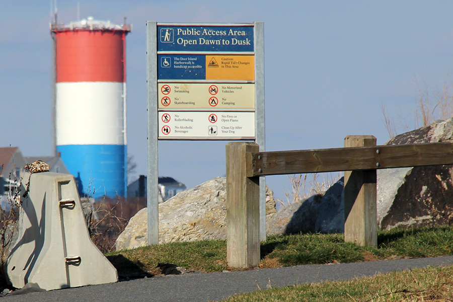
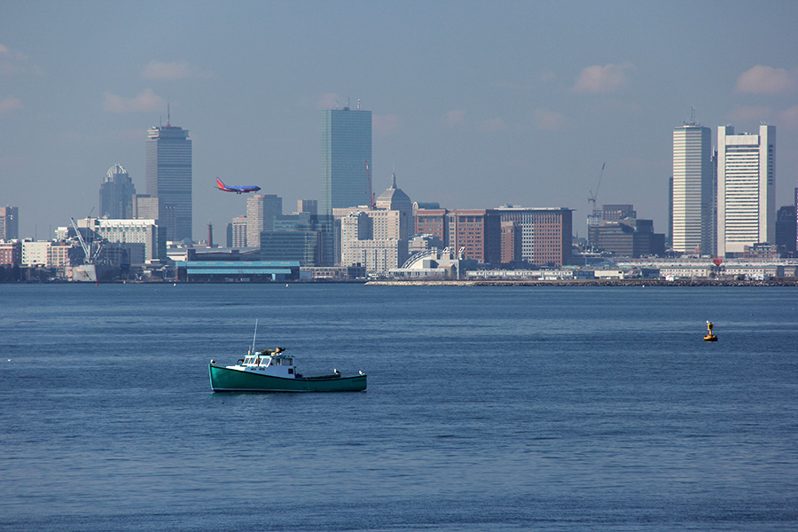
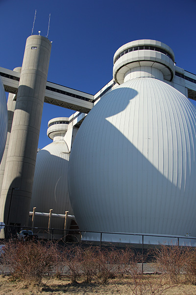
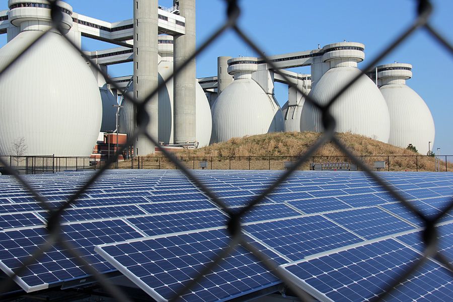
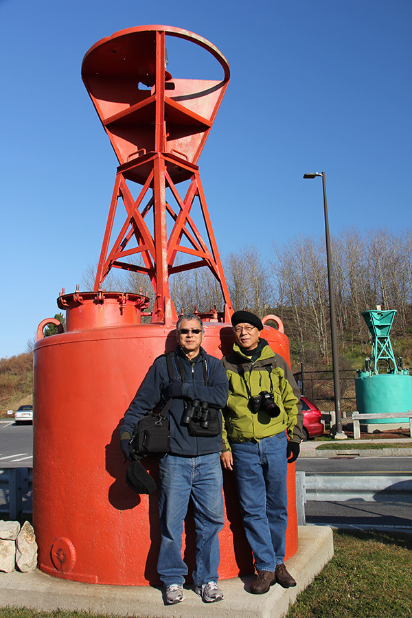
they came to pick me up sometime after 9:30. it takes about half an hour to drive out to deer island. i picked the place because it was 1) free and 2) not some place you see everyday. although deer island is known for its sewer treatment plant, it also has nice views of the harbor islands (including several lighthouses), the atlantic ocean, the airport, and the boston skyline. it's the sort of place only locals go, definitely not a tourist spot you'd find in any travel guides.
the temperature was brisk in the morning, but standing out in the sun it felt warm. we were fortunate also to have little to no wind. we were concerned about how my father's friend would handle the cold weather given that he's from los angeles but he seemed unfazed.
 |
 |
 |
 |
 |
looking at logan airport, we could see planes coming in for a landing traveling across the city. from that distance, it looked like the planes were actually landing in boston itself. taking off, they went high over over winthrop.
 |
 |
 |
 |
 |
 |
 |
 |
 |
 |
 |
 |
we were also there during peak high tide. we watched as the water level slowly receded. the ocean has all sorts of colors: clear when it comes inland, green along the shoreline, and then blue out into the harbor. i was hoping to hear the sighing rocks but the length of exposed beach wasn't long enough to get a long enough wash.

 |
 |
 |
 |
||
 |
 |
 |
 |
 |
 |
 |
 |
 |
 |
 |
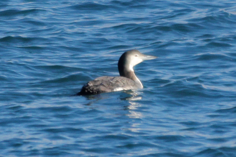
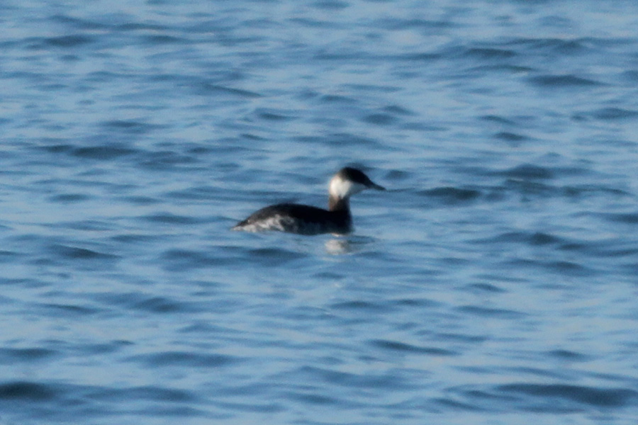
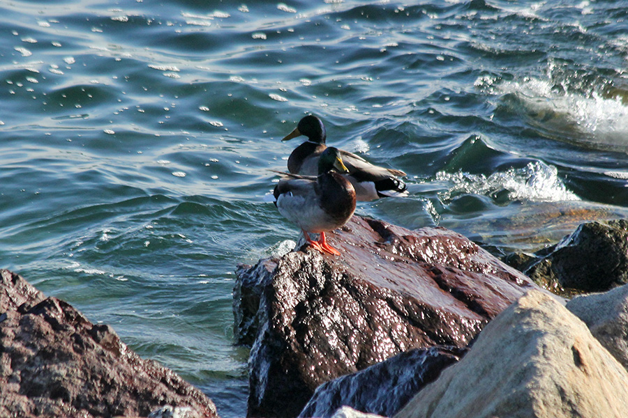 as for seabirds, i spotted the following: winter loons, red-breased mergansers, eiders, horned grebes, buffleheads, and even some mallard ducks. there were also some seagulls but i didn't bother to identify them.
 leaving deer island, we got a bit lost in east boston. my father forgot the GPS so i was in the back seat navigating with a map. instead of getting onto route 16 from route 145, we ended up on bennington street, heading towards one of the underwater tunnels going towards boston proper. this is where my experience exploring east boston comes into play. i ignored the map and navigated from memories to get us across the mcardle bridge and into chelsea, thereby saving us from having to pay a toll to travel through the tunnel. once we got close to everett my father got his bearing and got us back to cambridge.

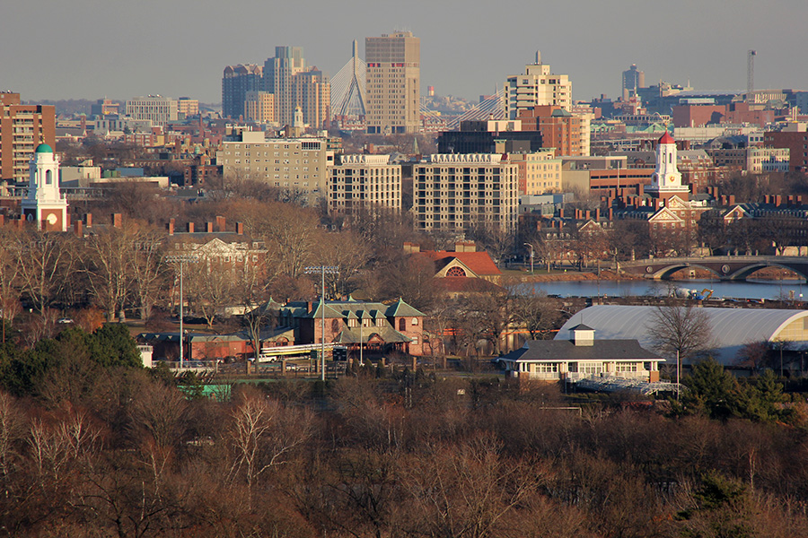
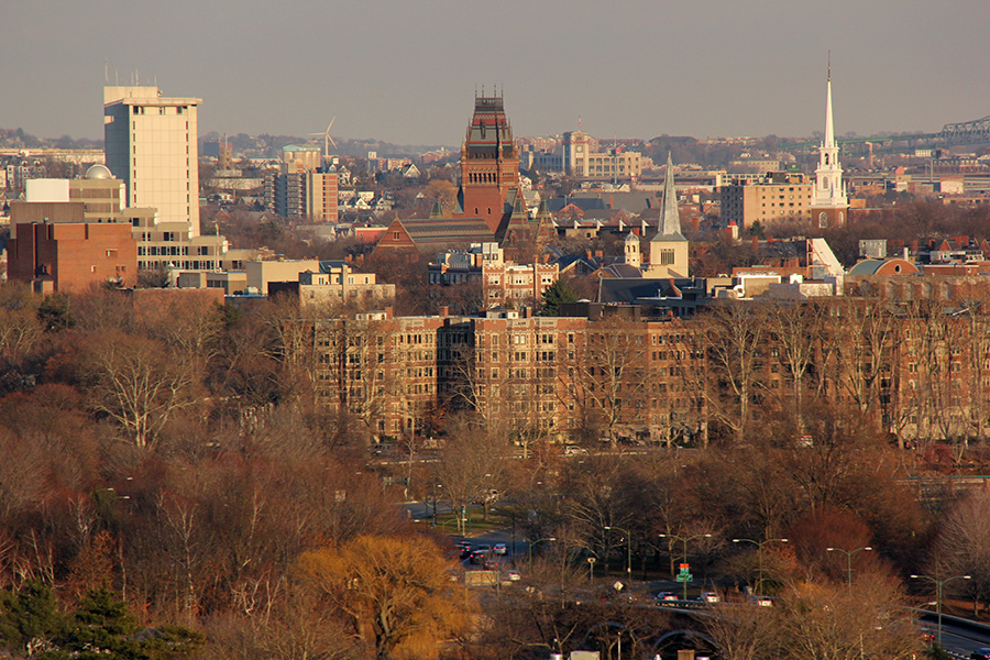
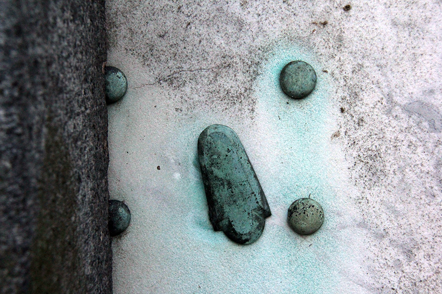
 since we didn't have lunch yet, we stopped at the cafe to get something to eat. the only other thing planned for today was my father's friend wanted to treat everyone to dinner. "someplace with lobsters," he said. since there was still a few hours of daylight left, my father took his friend and me to the mt.auburn cemetery. we made a beeline to the tower which i was surprised to find still open to the public (they usually lock it up for the winter for safety reasons).
 |
 |
 |
 |
||
 |
 |
 |
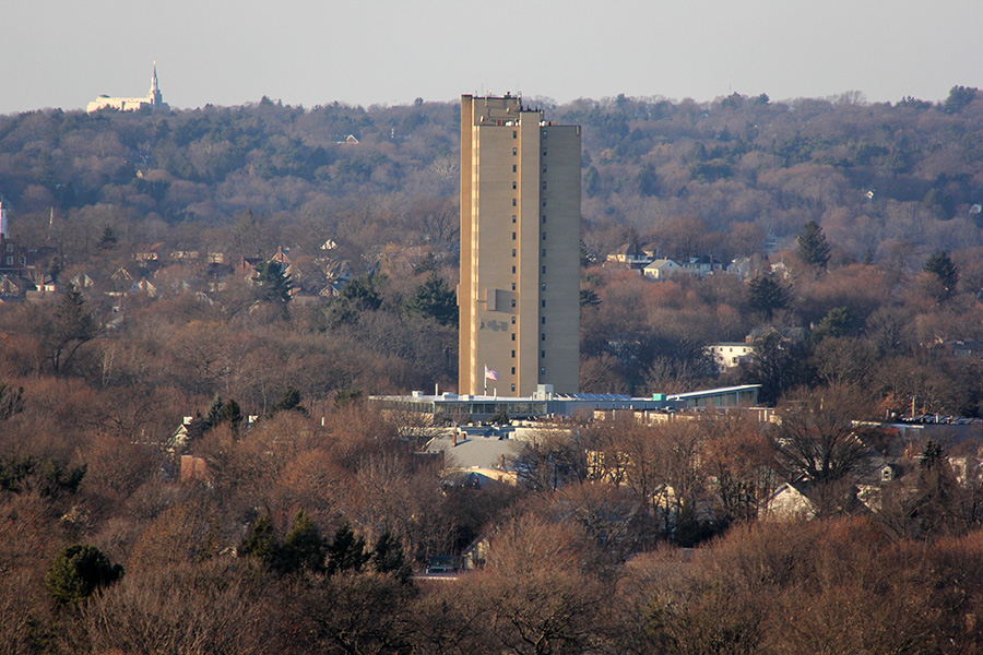
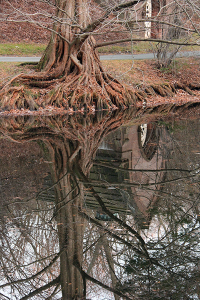
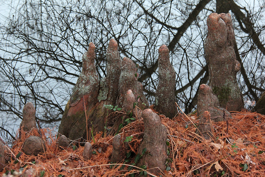
 from the top of the mt.auburn cemetery tower we could make out the winthrop water tower. it was a little weird since my father's friend hadn't been to boston yet (that won't be until tomorrow), so despite the vista, it was more preview than review. later we went to auburn lake and walked around a bit before finally leaving the cemetery.
 |
 |
 |
 |
 |
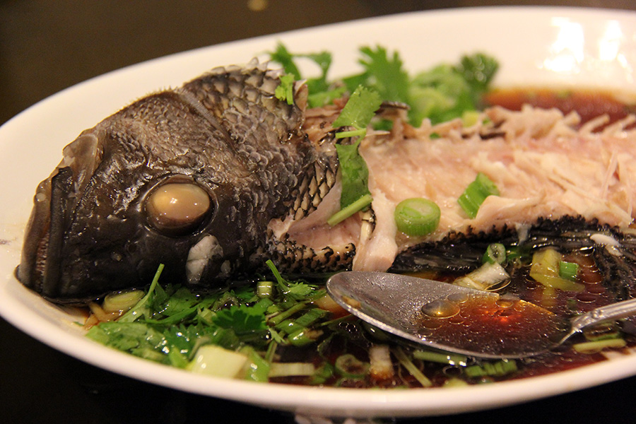
we waited back at my parents' house for everyone to show up. my mother was already home, my sister had decided she didn't want to join us (not a surprise), so we were just waiting for my aunt and uncle to arrive after they get out of work. we ended up going to dinner at victoria's in allston-brighton.
 |
 |
 |
 |
 |
after dinner, my aunt and uncle drove my mother home while my father and his friend gave me a ride back to cambridge.